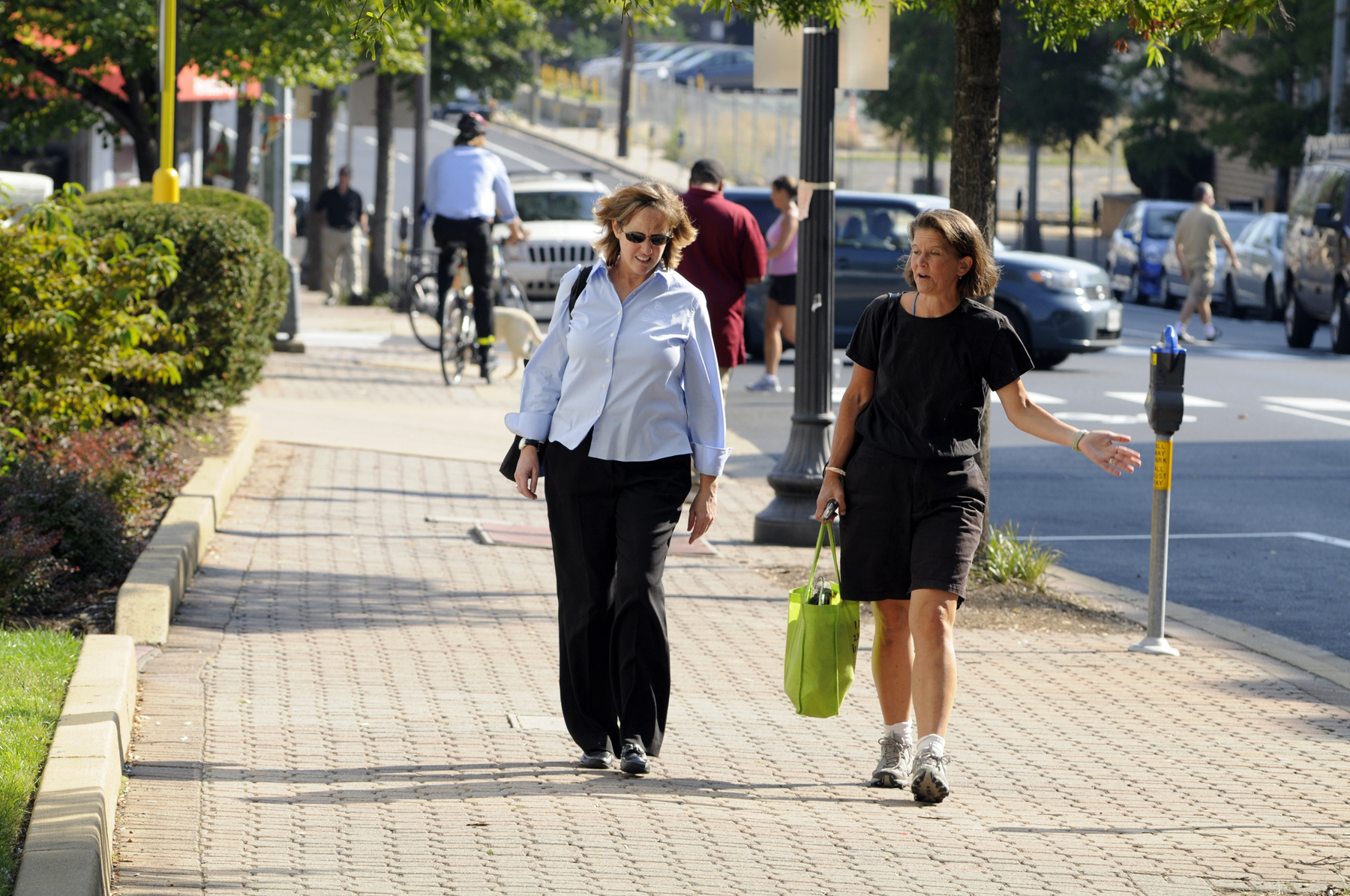
Community Highlights
Arlington is designated as a Platinum-level Walk Friendly Community for its success in transit-oriented planning, remarkable promotion and outreach, and educational offerings for staff and residents.
- Arlington’s longstanding goal of emphasizing growth around transit lines and embracing multi-modal transportation is guided by the Master Transportation Plan (MTP). The Pedestrian Element of the MTP includes clear sidewalk project ranking criteria and exemption policy for sidewalks. The County does an outstanding job tracking and reporting progress with performance measures with an annual report and an online dashboard.
- In 2019, Arlington County launched a comprehensive Vision Zero effort to eliminate transportation-related deaths and severe injuries. Building upon their transportation plan, their five-year Vision Zero Action Plan represents a strong commitment to improving safety across the county. The County is working hard to implement safety improvements and measure its progress toward these goals.
- Pedestrian and walkability initiatives in Arlington are supported by a committed team of professionals who devote a large portion of their time to improving conditions for people on foot. This includes a pedestrian and bicycle planner, a WalkArlington program manager, an active transportation director, and an outreach and events coordinator.
- Arlington has a model Complete Streets program that separately addresses concerns on both arterial and neighborhood streets through context-sensitive approaches. Complete streets projects include sidewalk expansion, pedestrian lighting improvements, curb ramps, crosswalk and signal enhancements, and other improvements that support pedestrian travel.
- Arlington County has extensive pedestrian (and bicycle) data collection activities. The data is used for planning, engineering, and operations, as well as education, outreach, marketing, and research. The Bicycle and Pedestrian program in the Transportation Planning Bureau manages an in-house network of permanent and portable automatic continuous pedestrian and bicycle counters. There are 37 automated counters and six portable counters that detect and separately record bicycle and pedestrian trips. These counts are shared publicly with an online, map-based display.
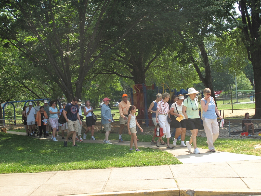
- One of their flagship resources is the Walkabout. They offer detailed route maps for 25 different neighborhoods that include the distance, type of terrain you’ll find, and a description of the neighborhood. Arlington even designed a limited-edition series of Walk Friendly Walkabouts to celebrate the County’s Gold-level designation.
- The County has demonstrated a superb understanding of market-based parking management. Parking costs are unbundled from housing and public on-street spaces are provided at minimal cost to car sharing programs like Zipcar, which reduces the need for private automobiles. For commercial development, below-grade parking is the norm and Arlington also encourages shared parking between uses. The community also provides cash-out incentives, providing employees who do not require a parking space with monetary compensation.
- The County has a comprehensive Safe Routes to School program that engages young people on topics related to walking and safety. SRTS programming takes place at every elementary and middle school in the County, and the work is led and supported by a full-time coordinator.