Community Highlights
New York City is one of only a handful of Platinum-level Walk Friendly Communities. Their plans, policies and programs serve as models for other cities in the US and around the world.
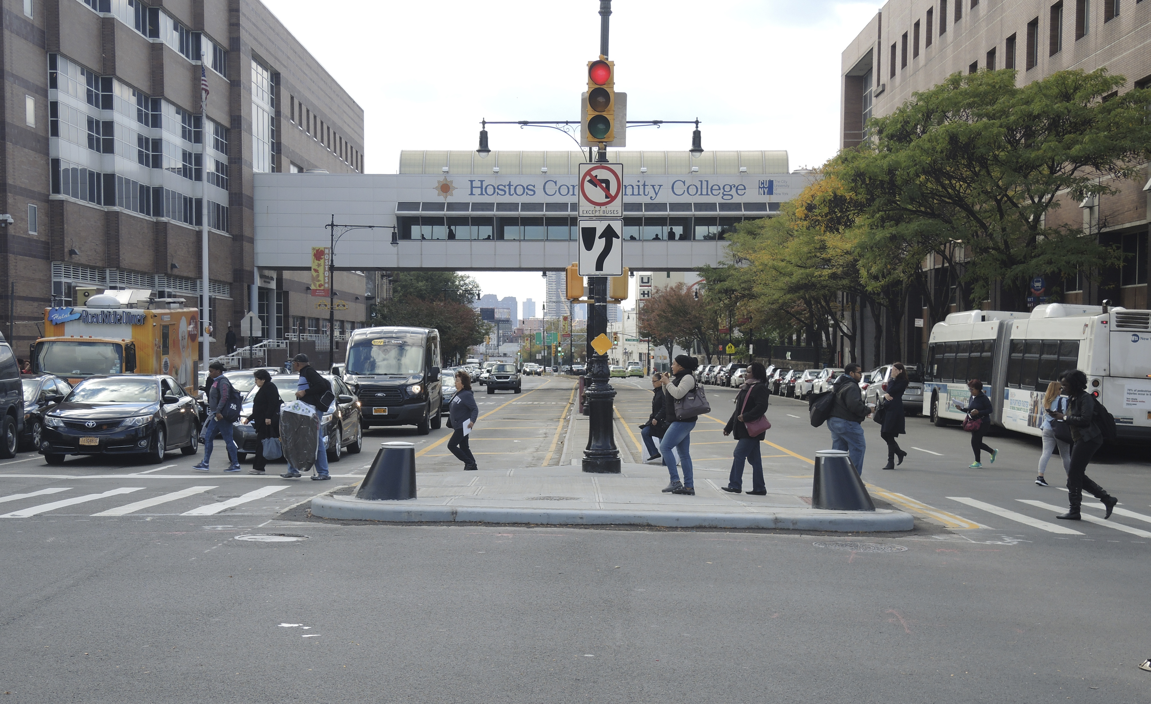
- Walking plays a central role in New York City’s transportation system. According to the US Census, two thirds of New York City residents either walk or take transit to work. Fewer than 30 percent of residents in New York City commute by personal vehicle.
- Since first being named a Platinum-level Walk Friendly Communities, New York City DOT has deployed safety countermeasures and innovative yet low cost improvements across their 6,300 miles of streets. These improvements are tracked online and routinely measured to assess their impact.
- In 2014, New York City was among the first US communities to adopt and implement a Vision Zero policy—calling for the elimination of road fatalities. They have been working aggressively to implement their Vision Zero plans, producing annual progress reports highlighting their achievements. Maps and data are provided in public-facing maps and dashboards that allow community members to monitor the City’s progress.
- A central part of New York City’s Vision Zero program involved the development of a Pedestrian Safety Action Plan for each of the City’s five boroughs. These plans are tailored to the unique needs and challenges of each borough, laying out a strategy for improving conditions for walking across the City.
- Two other plans released in 2020 – the Pedestrian Mobility Plan and the NYC Streets Plan – set a course for continuing improvements for pedestrians and other road users on the City’s streets. These plans address needs beyond basic safety and accessibility and to respond equitably to the City’s many neighborhoods local needs.
- Left Turn Traffic Calming was pioneered by the New York City DOT and is now a model for addressing severe conflicts stemming from left-turning motor vehicles. The program resulted in a 21 percent decrease in left-turning motor vehicle speeds.
- New York City benefits from the active participation of advocacy organizations and community groups, such as Transportation Alternatives and Families for Safe Streets. These organizations have elevated road safety as a City priority, and resulting actions have transformed policies on critical issues like speed.
- New York City’s Open Streets program launched as a response to the COVID-19 pandemic and evolved into a permanent transformation of key corridors into open space for public use.
- The DOT’s Street Design Manual guides transportation projects across the City, and lays out a range of design solutions that the City can use to improve safety and walkability. The manual covers topics from roadway geometry to street furniture and lighting.
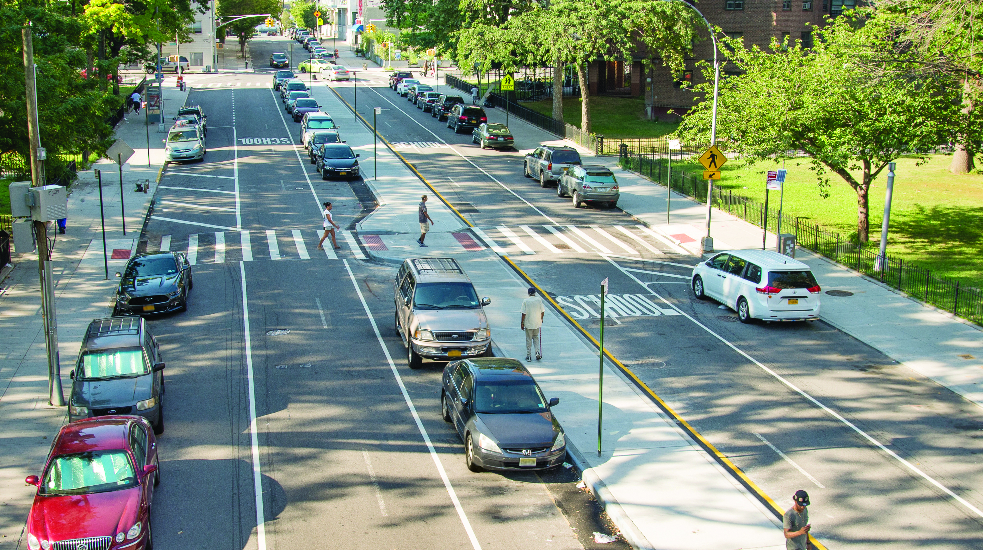
- New York City has demonstrated a comprehensive approach to improving safety near schools through its Safe Routes to School program. The City completes safety projects near schools based on its priority list and has most recently deployed automated speed enforcement to address speeding violations in school zones.
- The City has been taking steps to reclaim street space for public use, turning traffic lanes into public plazas using paint and other low-cost treatments. These projects, supported the OneNYC Plaza Equity Program, help the City meet its goals of ensuring that all New Yorkers live within a 10-minute walk of a park or open space and serve under-resourced neighborhoods lacking quality public space.