Community Highlights
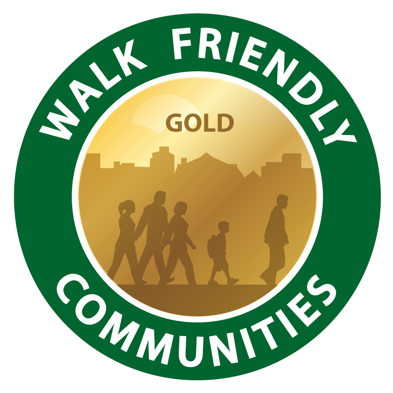
Santa Barbara is designated as a Gold-level community due to strong connectivity policies, a model Safe Routes to School program, and its unique pedestrian-oriented “paseos”. Highlights of Santa Barbara’s application include:
- Santa Barbara prides itself on good pedestrian data. In conjunction with community partner COAST (the Coalition for Sustainable Transportation), Santa Barbara staff and citizens committees regularly produce pedestrian counts as part of Capital Improvement Projects prioritization. They also conduct pedestrian yield studies for appropriate projects and participated in the 2009 Bicycle and Pedestrian Documentation Project.
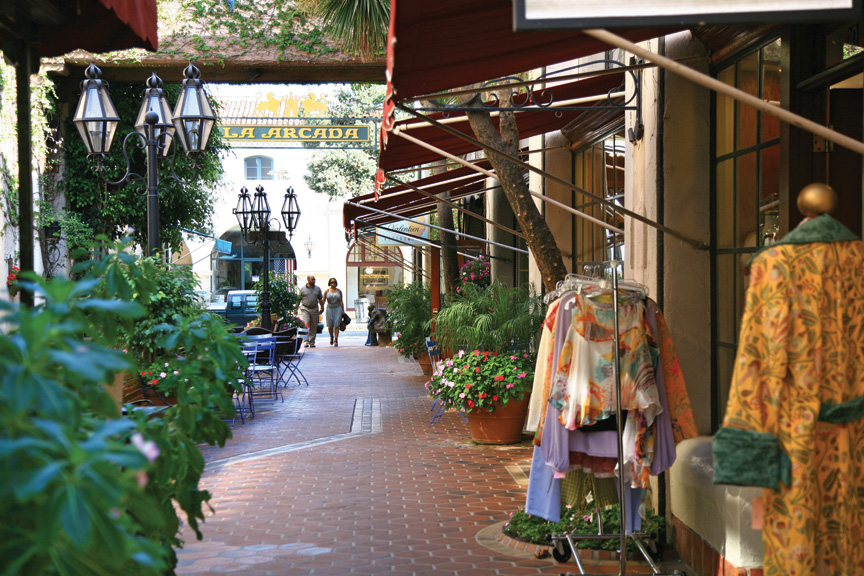
- The city’s Pedestrian Master Plan highlights “paseos” — pedestrian-oriented shopping streets that were created after the removal of parking lanes behind businesses in 1969. The paseos’ initial success as parking pass-throughs and additional retail frontage has motivated the city to highlight their maintenance and expansion in the plan. Although one chapter covers the paseos within the plan, the chapter functions as a standalone document focused on the network and complimenting the goals, policies, and strategies of the General Plan and Urban Design Guidelines.
- The Circulation Element of Santa Barbara’s General Plan is a complete streets document. The Element lists four goals and three of them highlight this philosophy: Strive to Achieve Equality of Choice Among Modes; Increase the Availability and Use of Transit; and Increase Bicycling as a Transportation Mode.
- Santa Barbara has a model Safe Routes to School Program already implemented with increasing participation from schools. Currently, the Master Plan has maps of safe routes for all 16 schools in the city limits. They host a Walk to School Day in October, encourage regular walking to school through a friendly competition called the Walk & Roll to School Challenge, produce and disseminate SRTS maps to parents at the beginning of each school year, partner with COAST in teaching how to drive a walking school bus, track walking and biking to school during homeroom time, and perform School Hazard Assessments every three years. Only six percent of schools do not participate in SRTS programming.
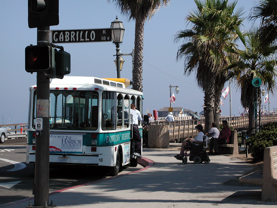
- Santa Barbara Car Free is a project of the Santa Barbara Air Pollution Control District with support from the City of Santa Barbara, Amtrak California, and other partners. It encourages car-free travel through discounts and by providing information on walkable destinations like the Farmers Markets, parks, trails, and bus and shuttle services.